
Red Beard's Outfitter
DeLorme® Atlas & Gazetteer Paper Maps Tennessee
DeLorme® Atlas & Gazetteer Paper Maps Tennessee
Couldn't load pickup availability
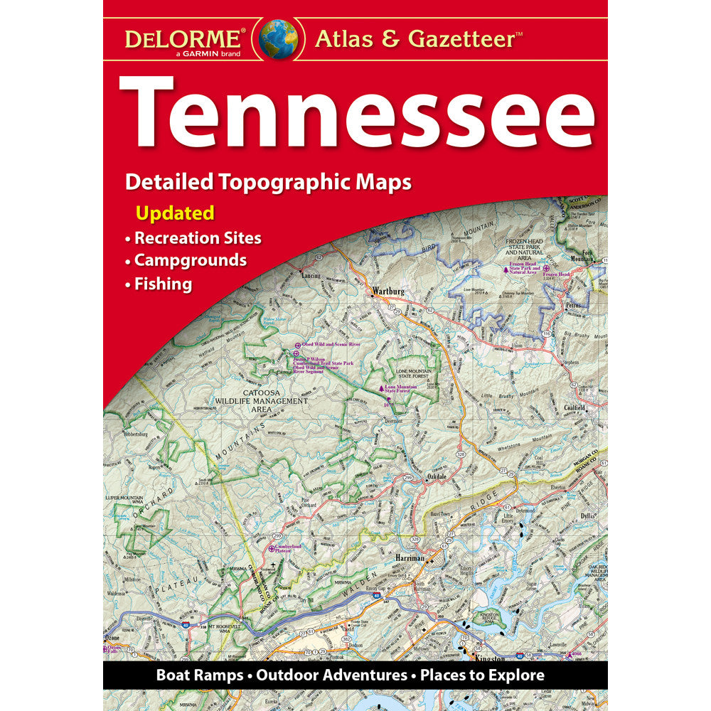
DeLorme® Atlas & Gazetteer Paper Maps are built for travelers, campers, anglers, hunters, and outdoor explorers who want a detailed Tennessee map they can trust. This large-format paper atlas combines full-color topographic mapping with practical travel and recreation details, making it a reliable companion for backroad exploring, sightseeing, and trip planning across the state.
Designed for outdoor enthusiasts, the Tennessee DeLorme Atlas & Gazetteer includes extensive map detail that goes far beyond a basic road map. From cities and towns to scenic drives, trailheads, boat ramps, recreation areas, historic sites, and prime fishing spots, this atlas helps you plan better routes and discover more once you get there.
Features & Benefits
- Detailed Tennessee topographic maps: Full-color maps include elevation contours for a clearer view of the terrain.
- Comprehensive road coverage: Shows major highways, roads, dirt roads, and back roads for deeper exploration.
- Built for outdoor recreation: Includes helpful information for sightseeing, camping, fishing, boating, and exploring state backcountry areas.
- Useful points of interest: Gazetteer content may include landmarks, parks, campgrounds, boat launches, scenic drives, and more.
- GPS-friendly navigation: Handy latitude and longitude overlay grid on each map page helps with GPS use.
- Easy trip planning: Extensively indexed so you can quickly locate towns, sites, and recreation areas.
- Major city and state land inset maps: Added map detail where it matters most.
- Large-format design: Measures 15.5" x 11" with 80 pages and 59 map pages for broad, readable coverage.
If you are searching for a Tennessee topographic map, Tennessee road atlas, backroads map, camping map, or outdoor travel map, the DeLorme® Atlas & Gazetteer offers the kind of detailed paper mapping many adventurers prefer for trip planning and route reference.
You can shop dependable outdoor navigation tools like the DeLorme® Atlas & Gazetteer at Red Beard’s Outfitter in Mobile, Alabama, where we help customers find practical gear for road trips, trail days, camping weekends, and time outside.
Frequently Asked Questions
+ What kind of information is included in this Tennessee atlas?
This atlas includes full-color topographic maps with elevation contours, major highways and roads, dirt roads, trails, and land use data. It also includes an indexed gazetteer section with outdoor and travel information that may vary by state.
+ Is this a good map for backroads and outdoor trip planning?
Yes. It is designed for sightseeing, exploring back roads, outdoor recreation, and trip planning. The detailed map pages and indexed layout make it especially useful for finding recreation areas, scenic drives, trailheads, and boat ramps.
+ Does this paper atlas work with GPS?
It includes a latitude and longitude overlay grid on each map page, which can help you navigate with GPS. It is a strong reference tool for people who want a detailed paper map alongside their digital navigation setup.
Share